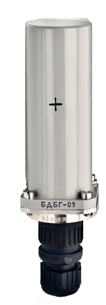
- unidad de detección de radiación gamma BDBG-09
- unidad de detección de radiación gamma BDBG-09. Libro de registro
- unidad de detección de radiación gamma BDBG-09. Manual de operación
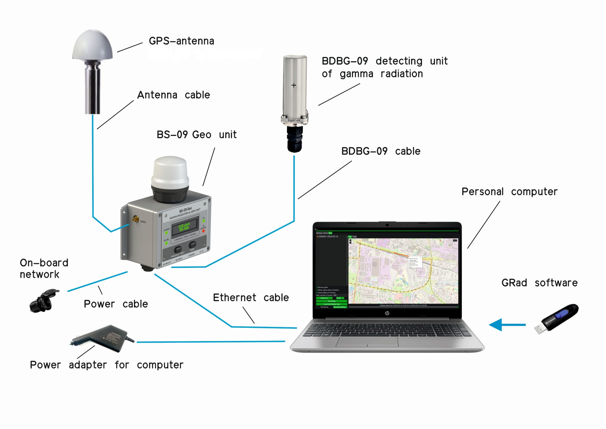
- unidad Geo BS-09
- unidad Geo BS-09. Manual de operación
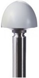
- antena GPS BULLET III TRIMBLE*
- cable BDBG-09 – 5 m (La longitud de los cables puede modificarse a petición del cliente)
- cable de alimentación – 5 m (La longitud de los cables puede modificarse a petición del cliente)
- cable Ethernet – 2 m (La longitud de los cables puede modificarse a petición del cliente)
- cable de antena – 5 m (La longitud de los cables puede modificarse a petición del cliente)
- ordenador personal **
- adaptador de alimentación **
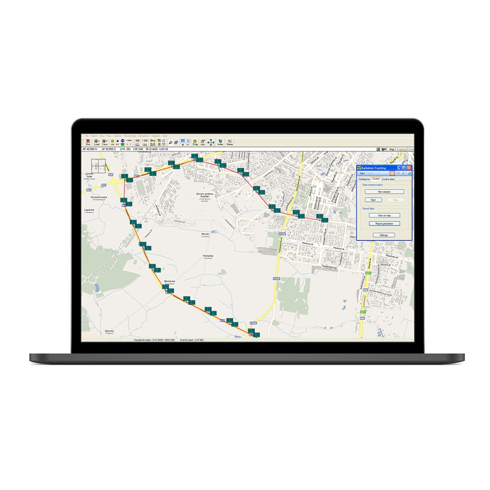
- software “GRad” ***
- sistema de hardware y software GeoRad-M. Manual de operación
- software GRad. Manual de operación ***
* o similar según lo acordado con el cliente
** suministrado en un pedido separado
*** se suministra en una memoria USB