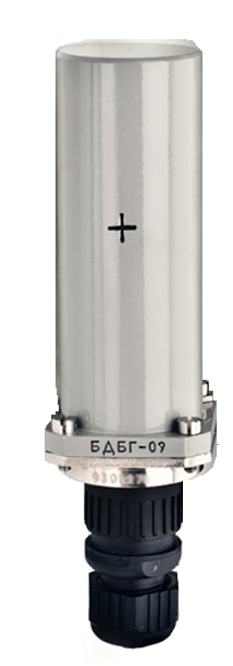
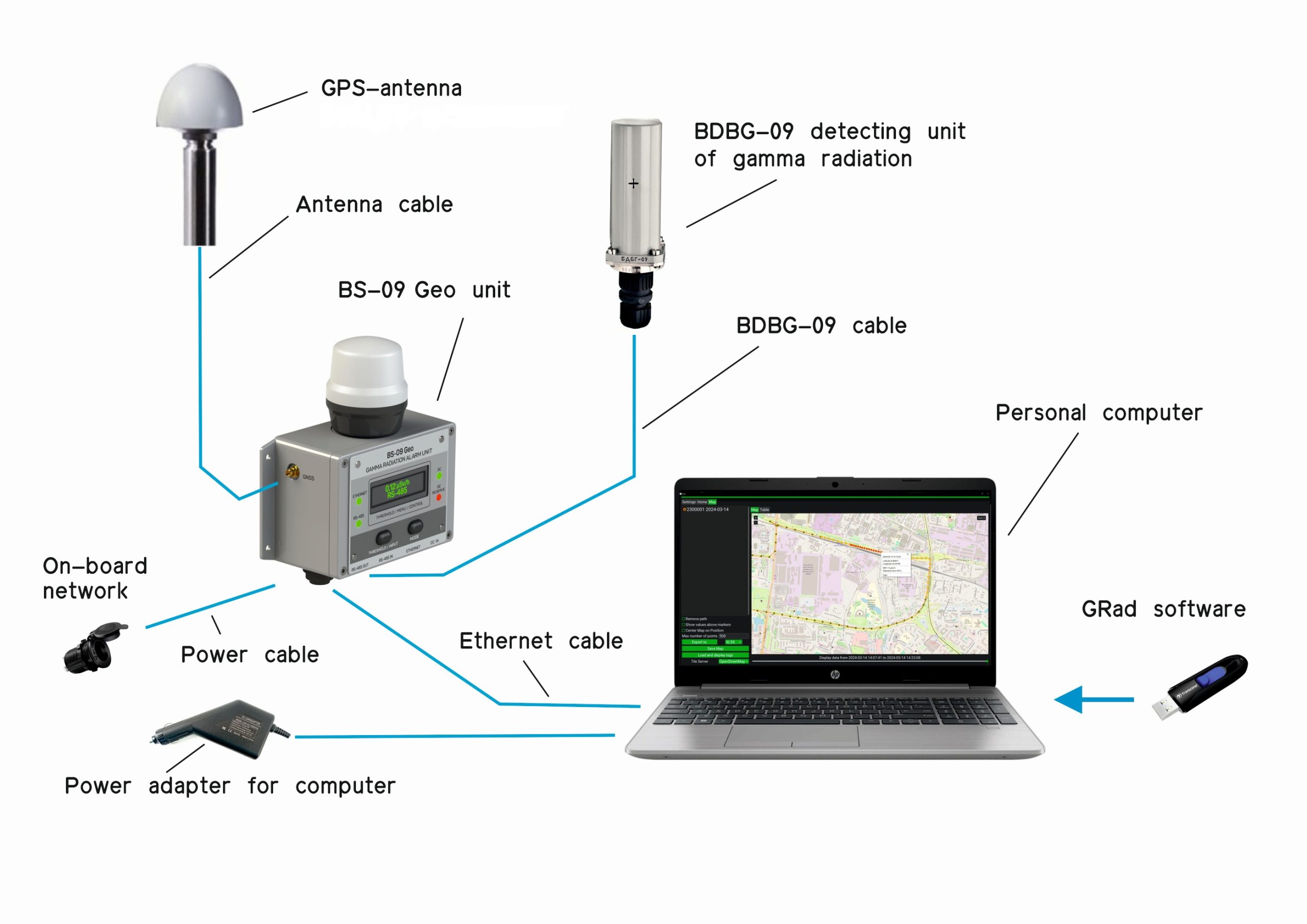
- BDBG-09 detecting unit of gamma radiation
- BDBG-09 detecting unit of gamma radiation. Logbook
- BDBG-09 detecting unit of gamma radiation. Operating Manual
- BS-09 Geo unit
- BS-09 Geo unit. Operating Manual
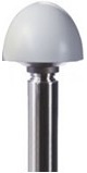
- GPS antenna BULLET III TRIMBLE *
- BDBG-09 cable – 5 m (Cable lengths can be changed at the Customer’s request)
- power cable – 5 m (Cable lengths can be changed at the Customer’s request)
- ethernet cable – 2 m (Cable lengths can be changed at the Customer’s request)
- antenna cable – 5 m (Cable lengths can be changed at the Customer’s request)
- personal computer **
- power adapter **
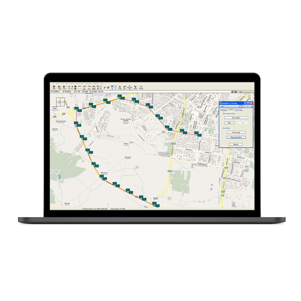
- “GRad” software ***
- GeoRad-M software and hardware system. Operating manual
- GRad software. Operating manual ***
* or similar as agreed with the customer
** supplied in a separate order
*** supplied on a USB flash drive